The Lost Coast trip report
I’d first heard of the Lost Coast while searching the best backpacking trips in the USA. It’s 25 miles of unspoilt coastline - a real rarity in California. The geology meant that it was too difficult to build highways there so it mostly got left alone. Over the years, like everywhere, word of its beauty and isolation have got out and there is now a fiercely competitive permit process which launches on the 1st October for the following year. There are 60 permits issued per day in summer and they sell out in minutes. We missed the application and added this hike to our list of things we might do one day but not on this trip.
Flashback to a couple of weeks ago and we were at a bit of a loose end for what to do next. On a whim I decided to check the permit page for the Lost Coast and, in a stroke of luck, there were two available to begin in a week’s time. I jumped on them! The permit only costs $6 and there’s no refund if you cancel so I’m eternally grateful to the people who took the time to do so at no benefit to themselves.
Planning this hike gave me anxiety dreams! It’s considered a challenging trip despite the low mileage and lack of elevation because of the wild ocean that you’re hiking right next to most of the way. There are three sections of the route which become “impassable zones” once the tide is over a certain height so you have to time it right to not get swept away (or just get you and your gear soaking wet).

The tide chart for our trip. You can see we had really low tides in the early mornings and smaller low tides in the afternoons
You can also expect a much slower pace than average as you’ll be walking through soft sand or over boulders and pebbles much of the time. Most people do it in two nights but we decided to take three to give us a relaxed itinerary and more time to work around the tides.

You can see the power of the waves in this picture - The Lost Coast is known for its fierce undertow and riptides
On first look the tide times for our hike looked less than ideal and I wondered if that was why there were cancellations. My original itinerary gave us two 5am starts to get through the two four mile long impassable zones which isn’t how either of us like to roll on backpacking trips. Amy gets her best sleep in the early morning and I like to wake up and sit quietly with the NYT crossword. But we wanted to experience this hike so we were very willing to set an alarm.

Big Buddy also got an ocean view while we hiked
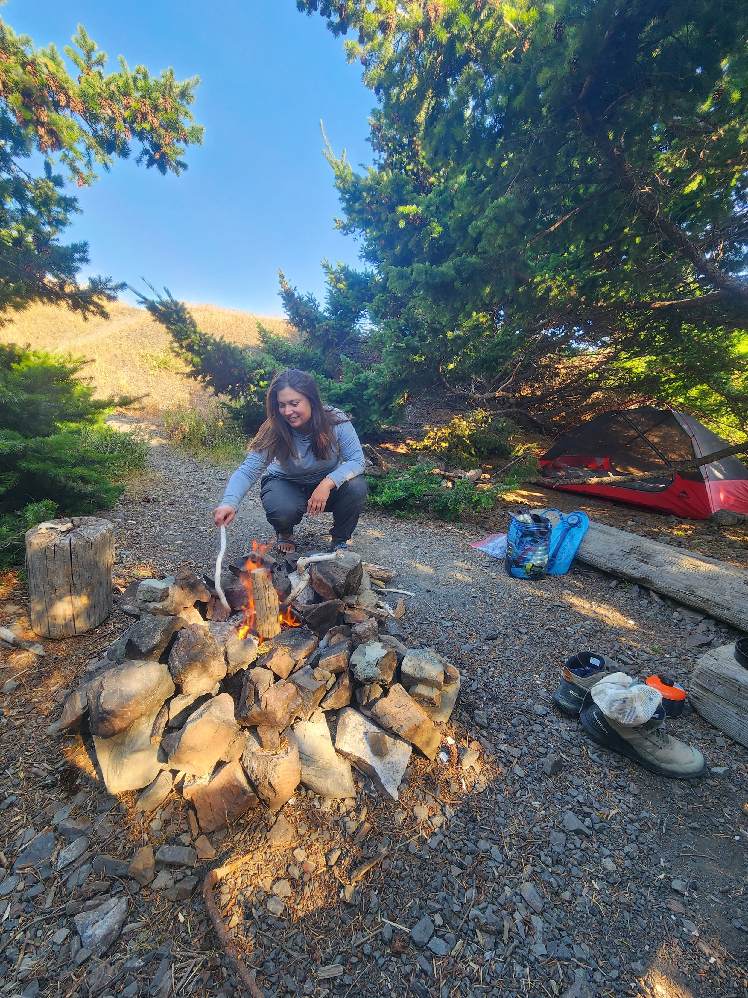
We arrived at the backpacker carpark the day before our hike (down a road that we were told was horrendous but really wasn’t too bad) and spent a long time organising all our gear before settling down for a quiet night in Big Buddy right next to the ocean. The next morning we took a shuttle to our start point with four other hikers. I was bouncing off the walls with excitement and had to remember it was 7am so probably not the time. It was a slightly terrifying zip around the mountains and we all had jelly legs by the end.

The view from our shuttle. Our driver said that in the USA you drive on the right side of the road, except here in Humboldt County where you drive on what’s left of the road!
None of us were totally sure about how far we’d be going that first day. There was a small low tide in the afternoon which we hoped to use to at least get halfway into the second impassable zone before finding a creekside camping spot.

Ready to take on the Lost Coast!
As we were getting ready to go a big tour group led by REI (an American outdoor shop) appeared. We got chatting to one of their guides and, honestly, he wasn’t very nice! He was disparaging of his group’s expected pace and our collective ability to make it through the impassable zones. We were happy to get hiking and leave him behind. That REI trip costs over $2,000 to go on!

Stepping down to the beach - this wasn’t going to be easy!
The walk was gorgeous from the off - hiking over sandy beaches next to the crashing surf. They weren’t kidding though about how hard it is to walk over sand with a backpack stuffed with four days of food in a bear-proof canister! We quickly found a path just above the beach with easier going terrain. Amy’s eagle eyes also spotted a couple of ripe strawberries which we enjoyed immensely - I can’t wait to get into berry season proper!
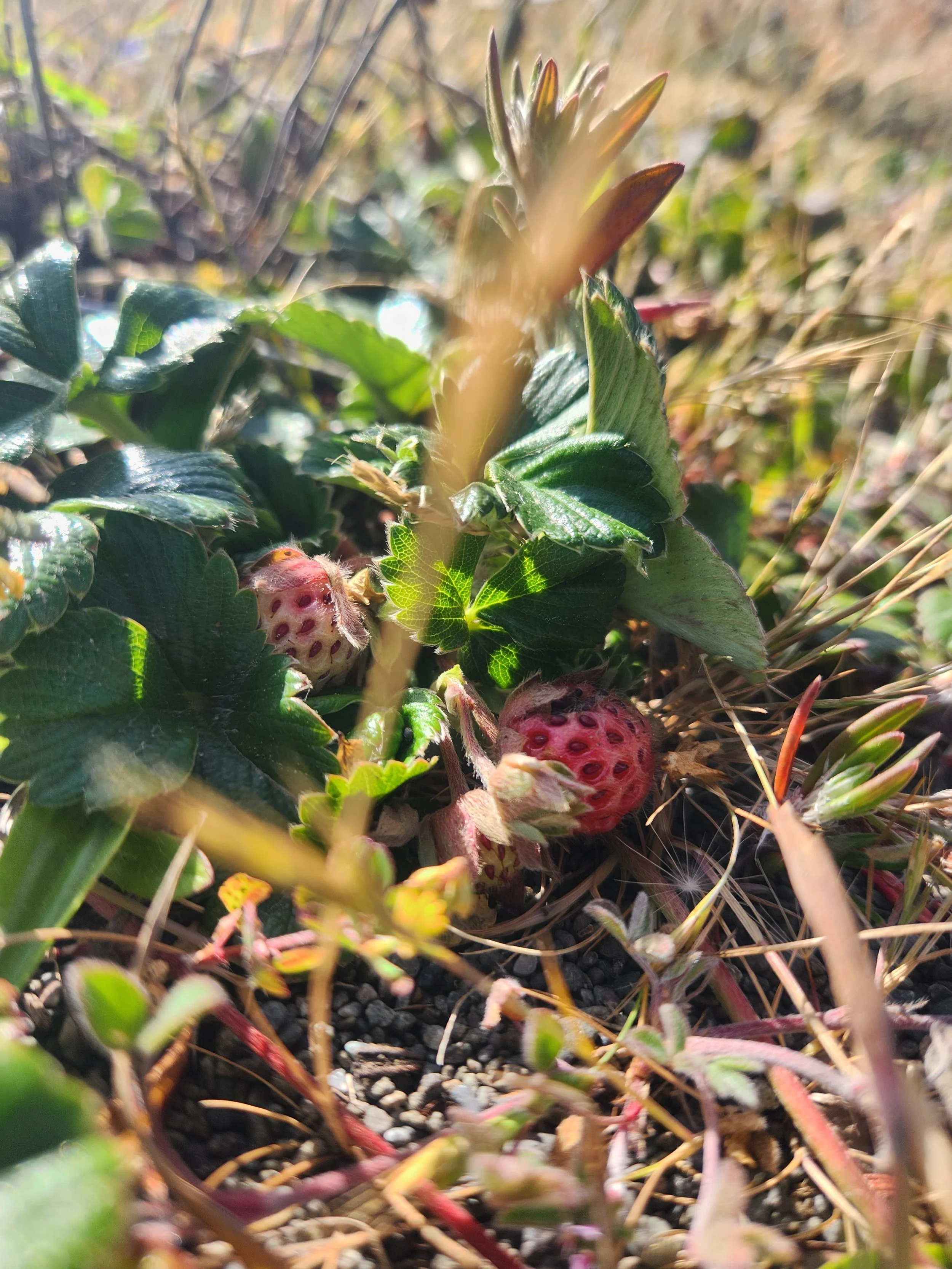
Delicious!
The first impassable zone is fine as long as the tide is under 5 feet and, with our first day’s high peaking at 4.1 feet, we didn’t even notice it. We were making really good time. Our first wildlife sighting of the day was hard to miss - a huge group of elephant seals asleep on the path right in front of us. They were so funny to look at - especially the males with their huge noses and angry faces. Funny as they were they are also enormous, territorial and can move surprisingly fast so we dropped down to the beach to give them a wide berth. We quickly realised the beach was also strewn with elephant seals so we ended up having to brave the snakes in the long grass above the trail along with another couple of hikers who had tried to walk down the beach and ended up doubling back.

Most of the seals slept happily - the big male made sure we didn’t get too close
We made it to Sea Lion Gulch around lunch time and enjoyed our chicken sandwiches as we watched the juvenile sea lions playing around on their rock out to sea. This marked the start of the second impassable zone - a four mile stretch that needs a tide of 2.5 feet or lower to hike through safely. I was stressing out about this tides this first morning and tried to tell myself that it would be fine. I’d spent so long staring at tide charts and hoped I hadn’t somehow managed to misread them. The way looked clear into the impassable zone though and the tide was going out so we decided to make a start - we could always wait out the receding tide if there were any tighter pinch points further south.

Contemplating the start of the second impassable zone

A rocky road awaited
After a steep descent back to the beach we ended up on boulders ranging from easter egg to microwave size. Not ideal for hiking! With poles though and feeling fresh I enjoyed hopping from rock to rock. We made it to Cooskie Creek at 1.30pm (a campsite bang in the middle of this impassable zone) just as the tide dipped below 3 feet. I don’t know why I was worried, we had so much time. We knew that the REI-led group of ten people would be camping there that night which did influence our decision to push on. We also knew that if we could make it another two miles we’d be out of the impassable zone and have avoided our early start the next morning.

Cooskie Creek campsite - next time I want to swim here
Amy was tracking our pace and we knew we were going at 2 miles per hour. With our cut off at around 5.30pm we really did have a lot of time. Looking back I wish we’d stopped for a bit longer in Cooskie Creek because it looked beautiful. In the heat of it though (and without a written tide chart which I’d been told we would get from our shuttle driver or at the trailhead but never found) it felt wise to push on towards Randall Creek where we planned to spend the night. We also knew there were at least a couple of groups behind us heading in the same direction and limited camping spots.

Rounding a final tight spot before Randall Creek
By mid-afternoon we’d arrived at Randall Creek (the end of this impassable zone) and decided that, despite the wind, it would be home for the night. We’d traveled 8.5 miles at this point which, coupled with the 6am wakeup and a busy week at work for Amy, was more than enough. We scouted around and couldn’t find a spot out of the wind so we decided to pitch alongside the creek. There was a spot down by the ocean but it looked frighteningly close to the high tide line - it would take just one rogue wave to really ruin your night.

Our spot on the banks of Randall Creek - no as sheltered as it looks! The hot air from inland whipped out to sea through this valley
A garter snake who we decided was probably Randall for whom the creek is named appeared and we watched him nose along the edge of the river right past our campsite. Up ahead we saw his target - a bigger garter snake with a kill in its mouth. The cheeky little snake was after a free meal. His target noticed the approach though and zipped across the river at lightning speed without dropping his meal. It was incredible to see.


Randall sheepishly retreated back the way he’d come and we pitched our tent with the aid of several rocks to keep everything in place. It was my first time using a new sleeping bag I’d bought in the REI sale and I was very excited to try it out. It’s 500g lighter than my other bag and probably a quarter of the size when packed. But would it be warm enough?

Spoiler alert - it was very cosy! This was me at 8:30 that evening
As we were setting up Amy noticed a man appear around the corner and went to say hello. He turned out to be a really friendly guy and we wished he’d have stayed for dinner but he decided to push on. He had a written tide chart which was easier to read than our graph so we gratefully took a photo of it. He also told us that he’d crossed paths with that same REI guide and asked for directions. The guide pointed him down to the beach but this guy then saw the guide and his group walking up on the much easier trail on the bluff. It’s not easy to find these bluff trails and felt like a shitty move from the guide to not tell him about it. We wished our new friend well and said goodbye before settling down to relax on the beach until it was time to eat.

Reading on the beach - you can see our bear proof cannister to the left of Amy’s leg. If the weather is cold it’s Tash proof too, it can be tricky to open!
We managed to hold out till 6:30pm before we made dinner and spent the time enjoying a hot chocolate and watching the tide come in - cutting us off from the world to the north. It looked like we’d be spending the night alone at Randall Creek. On a trip back to the tent I noticed that quite a few of our stakes had pulled loose in the wind! We added more rocks (including a rock in the tent to weigh it down and vowed to get an early night. Amy built a little wind break for our stove out of rocks and we thoroughly enjoyed our dinner. If anyone’s looking for genuinely good freeze dried food - try Peak Refuel! We bought them purely for the high calorie count (we like to share a pouch for dinner) but they’re by far the best that we’ve tried.

This was the path we came in on - wouldn’t fancy attempting to hike back!
We quickly stashed our bear canister and headed to bed to be lulled to sleep by the sound of the creek, the ocean and the blasting wind. It didn’t let up until quite late at night but we slept through most of it. I woke up early and ran down to the beach to look for tracks in the wet sand. I could see that coyotes had come down to drink from the stream but no bears. I crawled back into the tent and went back to sleep until 9am - we’d slept for about 12 hours! Emerging from our tent we could see the footprints of fellow hikers who’d got an early start to get through the impassable zone. By that point the tide was too high for anyone else to get through though.

Morning at Randall Creek
We had a leisurely breakfast and both felt amazing from the long rest and happy with our choice to push through day before. We didn’t have a plan for this day - we knew we wanted a shorter day so decided to just walk and check out campsites until we found one that we liked the look of. Randall the garter snake appeared again to say goodbye as we were packing up the tent and we headed up the bluffs and onto a gorgeous trail high above the ocean.

It was late in the season but the wildflowers were still out in force up on the bluffs
Less than two hours later (including a snack break!) we’d found our home for the night. Amy spotted a well used path off the main trail and followed it round to a gorgeous hidden campsite near Spanish Creek. Someone clearly took a lot of care of this place. It had a driftwood privacy wall separating it from the entry path; two benches and a stool; a well-made fire ring and a neatly piled stack of driftwood to burn along with a dried out pine branch for kindling. It truly felt like walking into someone’s home. Despite only having travelled about two miles we couldn’t pass up on this spot.

Our gorgeous spot at Spanish Creek. The tent looks sloped the wrong way but it was actually pretty flat!
Our welcoming committee this time was an incredibly bold jack rabbit (a kind of hare) who appeared right in our campsite to nibble on the pine leaves. We set up the tent (mercifully out of the wind this time) and decided to leave the outer off so we could fall asleep looking at the leaves and the moon. We were also both too hot the night before so wanted a little more airflow. Then we headed down to the beach for a relaxing afternoon on the sand.
It was pretty breezy and very hot down there so it wasn’t too long before we retreated back to our secluded campsite to make a driftwood fire. The wood was bone dry and caught immediately. It was lovely to have a small fire that we could periodically feed with the ready stacked logs. We read, did the crossword and cooked some mini venison sausages over the fire which were delicious. It was a very relaxing evening. I got a predictably early night and listened to the jack rabbit noisily eating the pine behind me as I snuggled in my new sleeping bag while Amy read by the fire and watched the moon rise over the King Range mountains.
We loved the well-built fire ring and neatly stacked driftwood
With the outer off, we didn’t have the issue of the wind flapping the tent in the night and we both had a good night’s sleep. I woke up in the middle of the night because a pack of coyotes were chattering to each other up on the meadow just above our campsite. They sounded like children laughing and it was a little creepy but I loved hearing them. I think they’d probably found our stashed bear canister which was up there and were wondering if they’d be able to snag a meal.

Moonrise over the King Range a few steps from our campsite
We were planning a longer day the next day so we got up pretty early and reluctantly packed up to say goodbye to Spanish Creek. Neither of us wanted to leave. We made time to go down to the beach and replenish the driftwood we’d burnt the night before, making sure we left the campsite looking as inviting as we’d found it.

Getting ready to leave - note the beautifully stacked driftwood on the right
We were hiking by 9:30am and felt more confident in our ability to navigate the tide charts today. We knew high tide peaked at exactly midday and were sure that we’d be able to get part way into the final impassable zone before our window was shut off by the rising tide at around 6pm. The advantages of this would be a shorter final day and avoiding the necessary early wake up if we stayed at Big Flat campsite, a popular spot just before the beginning of the impassable zone.

Beginning the longest day of our hike - I loved the mist rolling off the mountains ahead of us
Shortly after setting out we came across the first people we’d seen since Thursday afternoon at Randall! They were a group of three guys doing the hike in two nights and setting a cracking pace. It feels like a very American pursuit for lads to go backpacking with their buddies. There is always one guy in the group who reliably sorts the permits and plans the route and it always looks like a blast. Maybe British guys do this too and I just don’t know about it, but I love it. We leap frogged with them all day and enjoyed our moments of crossover.

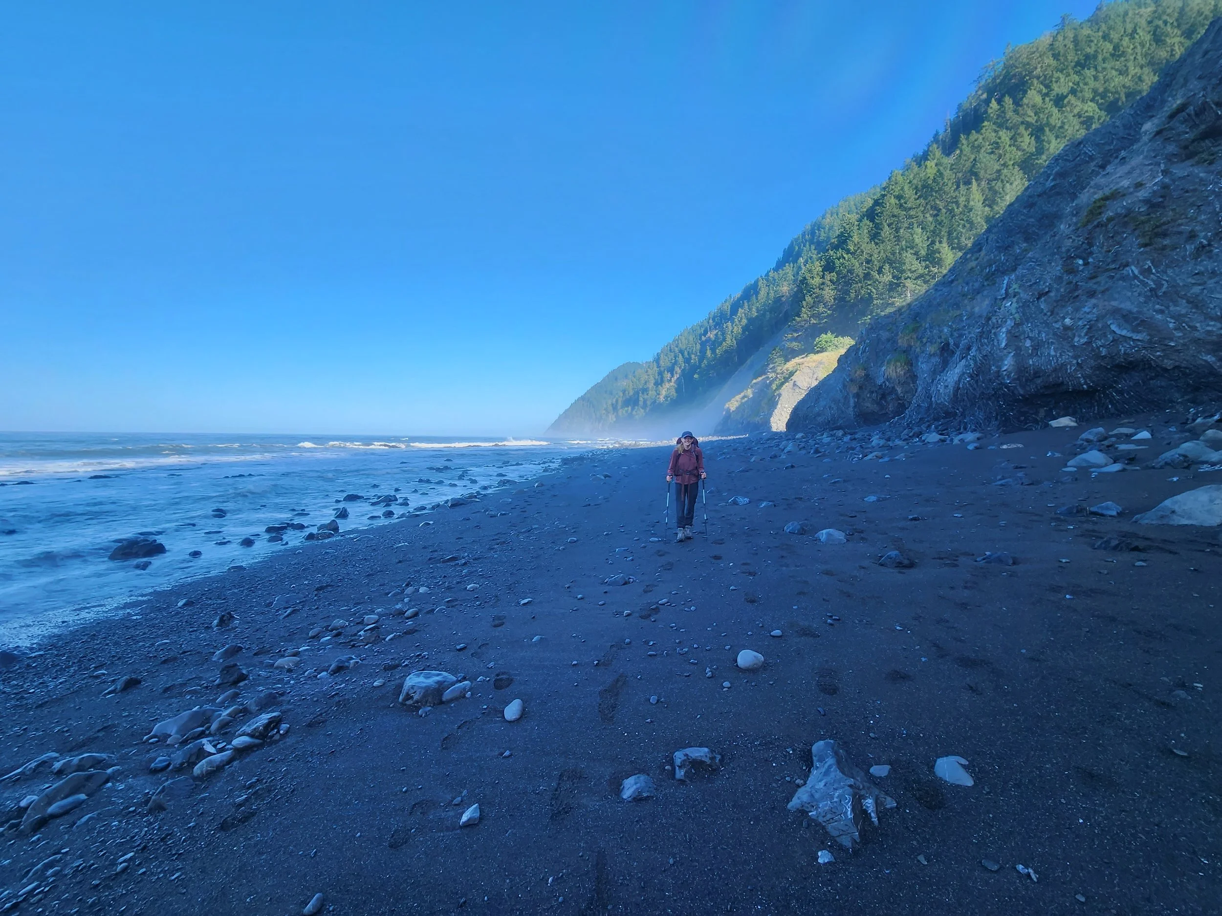
It was a constant balancing of risk - the ease of walking on the wet sand vs the potential of getting caught by a wave
This morning was fairly easy going and we found lots of interesting things by the shore and plenty of wildlife - deer, an otter playing in the ocean and another jack rabbit. We also enjoyed looking at the shells, bones and sea creatures that the tide had brought in.

I was overheated but still very excited to find random things like this bone - who knows what it came from
We arrived at Big Flat (which weirdly neither of us took pictures of) at around 1:45pm - technically about two hours before the tide window would open up for us to begin the final impassable zone. We met up with our trail friends again and hung out in the shade as they set up camp for the night after a 12 mile day. They gave us some awesome recommendations for future backpacking trips and we cooled down with river water. It was an incredibly hot day!
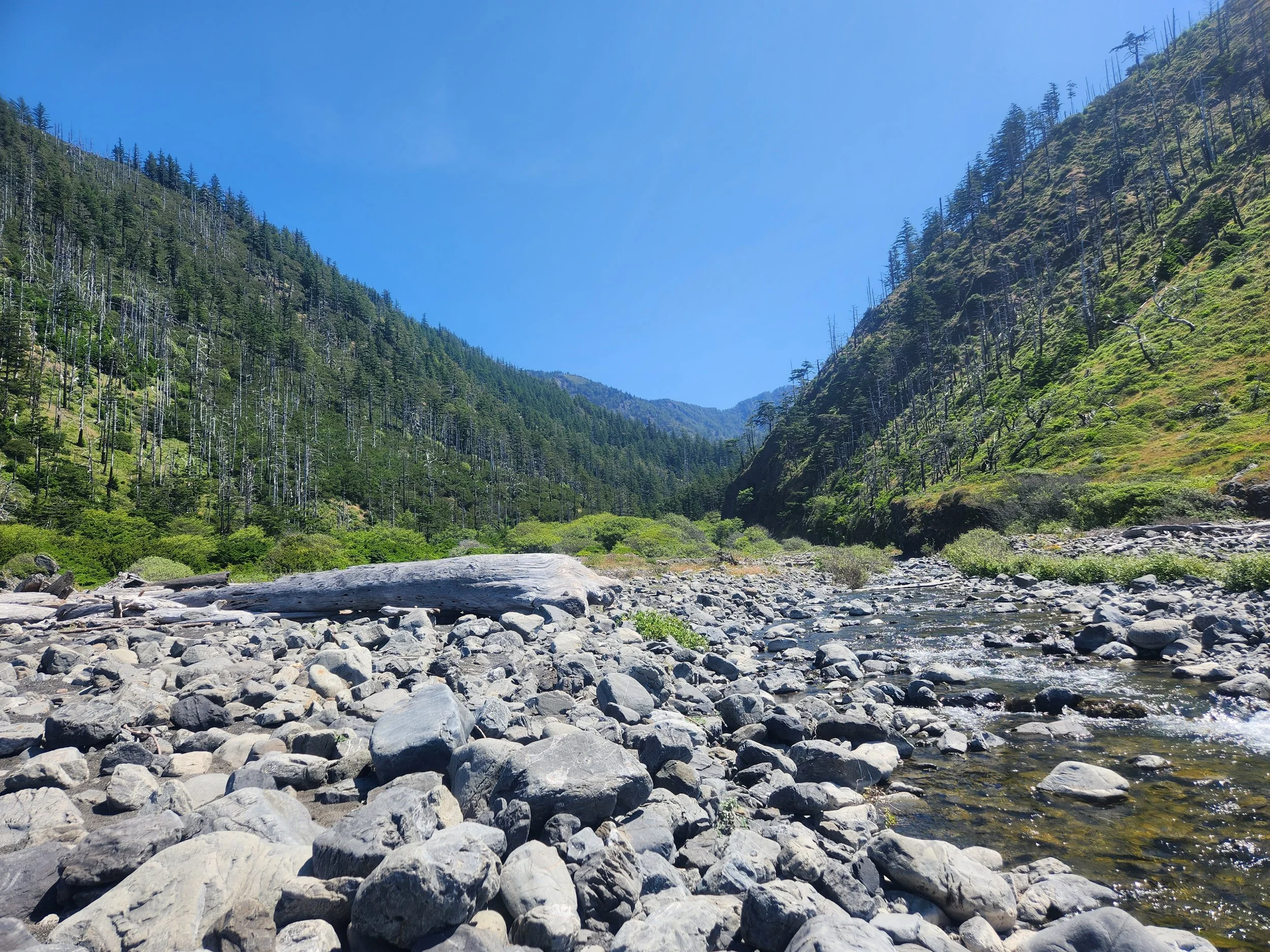
A creek just before Big Flat campsite. With more time I’d have loved to explore these valleys
With our eyes on the prize of getting maybe one or two campsites further down the road we headed out pretty quickly - stopping to look at some huge whale bones at another tent spot. The big group there told us that they were planning to head out to the next campsite in the impassable zone but that they were waiting for the tide to drop a little more if we wanted that tent site. It was really nice of them to make it clear that they weren’t staying, but neither were we so we headed out.

This path got steadily sketchier the further along it you hiked
We picked our way through poison oak filled fields for a while (silently thanking the cop we bumped into in Big Sur who taught us how to identify it) until we found a path further back from the ocean than you’d expect and followed it as it got closer and closer to the cliff edge and higher above the ocean. Someone had made an arrow out of rocks pointing down a sheer wall to the beach and a driftwood cross blocking the path that continued along the bluffs. We know not to ignore a sign like that and carefully picked our way down to the rocks below. The third impassable zone had officially begun! It was 2:30pm and by our reckoning we had two and a half hours until low tide. We didn’t love the idea of hiking the impassable zones on an incoming tide which probably didn’t give us quite enough time to get all the way through the four mile zone unless we really pushed it.

The very start of the third impassable zone on a receding tide
When we’d met the REI guide at the beginning he’d told us the group’s itinerary which was definitely Cooskie Creek the first night and Big Flat the second. I was sure that their final night was at the second campsite along the final impassable zone - Buck Creek. We were weighing up as we hiked whether to stop at the first campsite which would mean a longer final day and an earlier morning or whether to push on to Buck Creek and join the REI crew.

Hopping over rocks on a wider section of the impassable zone
Between these musings - this final impassable zone was a blast! We were the first group through on this receding tide and it was really beautiful to walk over fresh sand and look back to see our two sets of footprints meandering down the beach together. It was just my kind of romantic. There was plenty of dry sand further up the rocks and just a few pinch points where we enjoyed waiting for a gap in the waves to scuttle through.

Alone on the Lost Coast

Timing it just right. There were some dry rocks to my left but where’s the fun in that?!
We reached Shipman Creek (the first campsite in this impassable zone) at 4pm - an hour before our cautious window for travel shut. It looked nice and was totally deserted, although we knew of two groups who were planning to head there too. I’d done some reading about the campsites but I couldn’t for the life of me remember what Buck was meant to be like. We decided to press on as we were enjoying the hiking and wanted to make a little more progress to help out our tomorrow selves who would probably be exhausted!

Amy checking the map and tide charts at Shipman Creek - just over a mile into the impassable zone
The hiking remained beautiful but got steadily harder as we entered a big field of mango sized rocks which were a real pain to walk over. Too small to rock hop on but too big to ignore. Amy’s a good judge of pace and reckoned it would take us about 30 minutes to get to Buck Creek and would then be another 45 to the end of the impassable zone. In short we could make it all the way out, but it would be another hour and 15 minutes of quick hiking on tough terrain with no breaks. We were hot and hungry so agreed that if there was space for us at Buck Creek amongst the tour group we’d squeeze in and save our energy for the next day.

Very pretty but a pain to hike on - this was the hardest mile of the trip for me
Decision made we were able to drop the pace and enjoy watching a funny seal sleeping on a rock. It could tell when a big wave was incoming and would lift its head and flippers in preparation for the waves to break over its rocks. Once a big set had finished it relaxed and went back to sleep, letting the smaller waves roll in.
Right at 4:30pm as predicted we arrived at Buck Creek. We could see at path leading up the cliff edge towards the campsite and picked our way over the creek and across the rocks towards it hoping we’d find a space. And the site was totally empty! Either I’d misheard the guide or they’d decided to push on one more campsite. Like us they might have been thinking of their final day and dreaming of a lie in after the two early starts they must have had.

Beautiful Buck Creek campsite
We dropped our packs in what we thought was probably the best tent spot overlooking the ocean and had a little scout around. There were only five spots (six at a push) so we really would have had to squeeze in if the tour group had been there. We hedged our bets a bit and relaxed in our second choice - a shady campsite, so relieved to finally be out of the sun. It was only 5pm but we were starving and decided to eat our dinner (another Peak Refuel special!). We had a pudding for our final night so that would fill us up later on.

We picked the ocean view room
As we were eating dinner and chatting about our mileage we got the fright of our lives when a man and his dog popped out into the campsite. Poor guy, he knew he was going to make us jump and really tried not to! We made a hasty decision to take the site next to the ocean and told him this shady spot was free if he wanted it. I think he was really after solitude though as he left pretty quickly, talking about a sweet spot at the next campsite along. He was really pushing it with the tides so I hope him and his dog didn’t get too soaked by the incoming waves.
After he’d left we returned to the sunny spot overlooking the ocean and I was giving Amy a shoulder massage (the backcountry spa had reopened for business). I was looking out to the ocean and saw a whale spout! We’d been hoping to see a whale the whole hike but hadn’t had any luck. We watched it for ages - it had really short surface intervals before diving down for a bit and at one point it lifted a huge pectoral fin out of the water. We never saw a tail and we’ve spent a long time trying to decide what it could have been. Possibly a fin whale or a blue whale! Amy’s decision to tote the binoculars had proved a good one.

Panorama shot of our beach for the night
As she was looking intently at the whale my eye caught some movement at my feet and I looked down to see an enormous snake slithering just in front of us along the cliff edge. The only thing I could manage to say was “that’s a big one” and Amy thought I was talking about a wave until I said I thought it was a rattlesnake. So this was our animal welcome committee to Buck Creek! It was intently focused and had made itself really short and thick so I think it must have been hunting the lizards that dotted the campsite - it looked like it could have stretched out to a good size like lightning.

I didn’t get to my camera in time but you can see the rattlesnake’s tail in the bottom left of this picture
We watched it head off into the grass and decided we’d probably be able to relax more down on the beach so we gathered what we’d need for our pudding and hot chocolate and headed down. We filtered some water and made our mango sticky rice freeze dried dessert which was delicious! At this point the tide was high enough that we were cut off on both sides of this beach. This meant that we would be totally alone for the night for our third night in a row. With 60 permits issued per day this was surprising and borderline weird. Most people take two or three nights to finish the trail so on a weekend you could expect at least 120 people on the hike at any given time. This would average 10 people at each of the 12 campsites across the route. People long for this solitude on such a popular hike so I might write a separate post about how we found it.

Watching the tide come in and the sun go down at Buck Creek
Point being though - it was the perfect time for a backcountry poop in privacy. Everywhere does things differently and on the Lost Coast the official advice is to dig a cat hole in the wet sand below the high tide line and allow the ocean to dispose of your waste. I timed it right and ducked into a small cove just south of the main campsite - as I’m sure thousands of hikers have before me. It ranks up there as one of the most scenic poops of my life! It was a little terrifying as the tide really was coming in at this point. Friendly reminder to any backpackers reading this - please please pack out your loo roll, it’s the worst to find bits of it flying around. Or if you don’t want to, invest in a travel bidet.

Ideal bathroom view
Business complete we reconvened on the beach and watched the waves rolling in (periodically moving backwards as the tide advanced). We felt very alone and both of us at various points felt slightly creeped out knowing that we couldn’t leave this campsite even if we wanted/needed to. The bear spray remained close!

Exhausted but content - there aren’t very many photos from this evening, we were too wrecked!
We sipped hot chocolate as the sun dipped lower in the sky, lighting up the trees and vegetation overhanging the coastline - a truly magical evening. We realised though that we should probably get our tent set up before it got dark and the snakes really came out (rattlesnakes have inbuilt thermal cameras to hunt rodents at night!)

Amy setting up our tent at sunset
After we’d got the tent up, Amy inflated our cushy sleeping pads while I packed and stowed our bear proof canister. I took it to store in one of the empty spots further from the cliff edge. It was really spooky back there! They were nice spots but the valley that they backed onto was so dark and dense with trees and ferns - there could have been anything in there. I pushed that thought right to the bottom of my mind and decided to embrace the solitude.

Fully cut off and ready to sleep
Ready for bed and exhausted after a day clocking in at 9.4 miles (a long one with packs and over sand/rocks) we took one last look at the still incoming tide and snuggled into our sleeping bags. I’ve noticed that my new down sleeping bag takes longer to heat up than my other one (which is synthetic and fleece lined so cosy from the off but also very heavy) but once it does heat up it really keeps it in. We had the outer off the tent again and fell asleep in bright moonlight listening as the waves threw around what sounded like quite large rocks. It was a really soothing sound especially as we knew we were far above the reach of the waves and I slept like a baby.

Morning at Buck Creek
Waking up the air was much damper than on previous mornings and my sleeping bag was covered in drops of dew. It didn’t seem to have affected the warmth though which was my main worry with a down bag. I reluctantly crawled out and wandered down to the beach to wake up and check for footprints. It was almost 7am and gorgeous down there. The tide was just starting to come in and cover the tide pools. One thing we didn’t experience on our trip was many tide pools. Our low tides in the afternoon just weren’t low enough and neither of us wanted to wake up at 5am to hike on the morning low tides if we could help it.

Looking back at our final campsite
I jumped over Buck creek (which was narrow enough to cross easily without getting my feet wet at this low tide) and found some really weird looking tracks. I’m fairly certain that the tide had covered this spot last night as the sand was wet and that no hikers had yet come through on this tide as there were no footprints.

I’m choosing to believe in Bigfoot
You can see that they look like a human handprint but a little smaller. Maybe it was a bear - or a hiker from the day before and the tide hadn’t quite reached this spot. It could have been Bigfoot?! Any suggestions welcome - google was no help!
As we were enjoying our tea and coffee with a stroopwafel (a welcome change from oatmeal) we started to see hikers filtering past camp including our buddies from yesterday. It was similar to our Grand Canyon hike where we kept seeing the same groups although on this trip we only had that one crew who we saw more than once. It was almost 9am when we headed out - with a good two hours before our tide window would shut and only 1.5 miles to the end of the impassable zone. I think our fellow hikers must all be real early birds though as we were amongst the very last out of this impassable zone.
Setting off for our final day of hiking
The light remained gorgeous but, like I’d read, this section was a real slog through soft sand all the way to the end. This was why we’d pushed on the night before - today we only had to go 5.3 miles which was a relief. We stopped at Gitchell Creek which was pretty but looked tight. The driftwood pile to climb to get back to the tent spots was enormous and I was glad we’d decided to say at Buck the night before!

Gitchell Creek campsite - the tent spots were either on the beach or over that pile of logs
We decided to lean against a log and make a second cuppa to get us going. We did a cursory check for snakes and I noticed something stripey tucked underneath the driftwood! It was indeed another rattlesnake. This one looked much smaller than the other one and I was desperate to get a proper look so we set up our tarp a little way away to wait and see if it would come out when the sun hit. It always pays to check where you’re about to sit!

Enjoying a second breakfast
Tea, coffee and a second breakfast leisurely consumed the snake still hadn’t woken up even though it was nearly 11am at this point. Clearly it had been burning the midnight oil catching lizards by the full moon. We got ready to go and Amy drew the word “snake” in the sand with an arrow pointing to the rattler in the hopes that any incoming hikers wouldn’t choose this spot to rest their backs.

Trying to warn future hikers of the rattlesnake
The final hour and half of the hike veered between meditative and painful. When you found your groove, the sound of your boots on the small pebbles coupled with the noise of the waves was almost mesmerising until you remembered how much your feet hurt. We came across a huge sea urchin and a starfish who I put back into the sea in the hopes that it would live to fight another day.

Risking wet boots for a starfish
Around 12:30 we arrived at Black Sands Creek right at the end of the hike. We knew that we were sleeping in Big Buddy that night and wouldn’t be getting a shower until the next day so Amy took a cold plunge in the river and I attempted to wash my hair. It really did help and we decided we could do without trying to sneak into the RV park to “borrow” their showers. Once finished we headed straight to the pub whose car park we’d booked to stay in for the night (subject of another blog - it’s called Harvest Hosts and is a great app!) We enjoyed a burger, brownie and my first ever game of cornhole before turning in for an early night.

Feeling refreshed

Finishing the Lost Coast
The next morning we drove back to the backpacker carpark to eat breakfast and use the bathroom. While drinking our tea looking over the ocean we got talking to a fellow hiker who was about to begin the Lost Coast. She was doing it as part of a trip with an organisation called the Sierra Club - an American environmental group. This was an LGBTQI trip and I wished that we had been on the trail at the same time as them! Hanging out with mostly older LGBT people who probably know a lot about birds and plants sounds like an absolute dream. We had a really nice chat, I love meeting fellow LGBTs out and about, and we even saw a bald eagle making its way up north along the coastline.
Neither me nor Amy wanted to leave but we reluctantly dragged ourselves away after swapping numbers with our new friend with the hopes of seeing each other on future trails. We had scored an awesome looking pet sit up in Seattle with a dog called Macaroni starting in four days! It would be a long way to go (around 12 hours north of here) but it looked too good an opportunity to pass up on.
This was probably my favourite backpacking trip to date. It was mind-bendingly beautiful in a way I haven’t experienced before. I don’t know if it was the empty campsites, abundance of wildlife or the gorgeous weather - probably a combination of all this and more which gave the hike a magical quality and a dreamy afterglow that lasted for days. We’d managed the tides well and had two harder days which pushed us and also served as a reminder of how much stronger we’ve got since we started this road trip. I can’t wait for the next one!
